BRIEF ON MOULING NATIONAL PARK
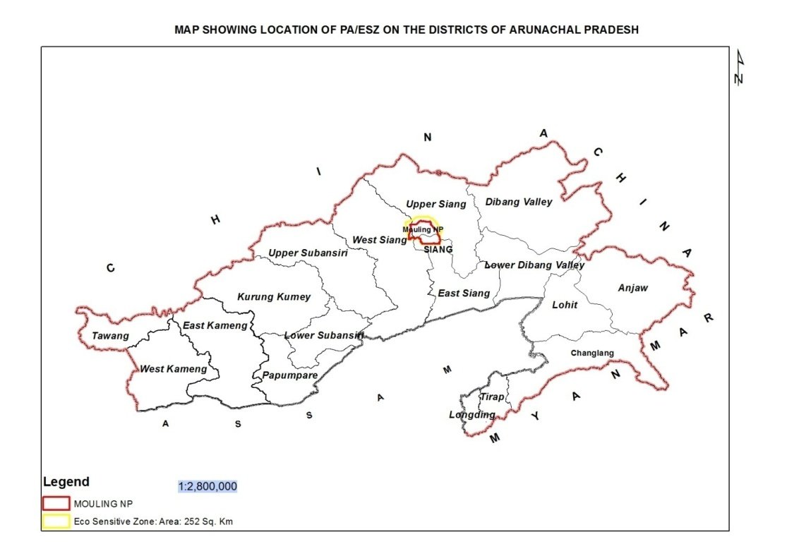
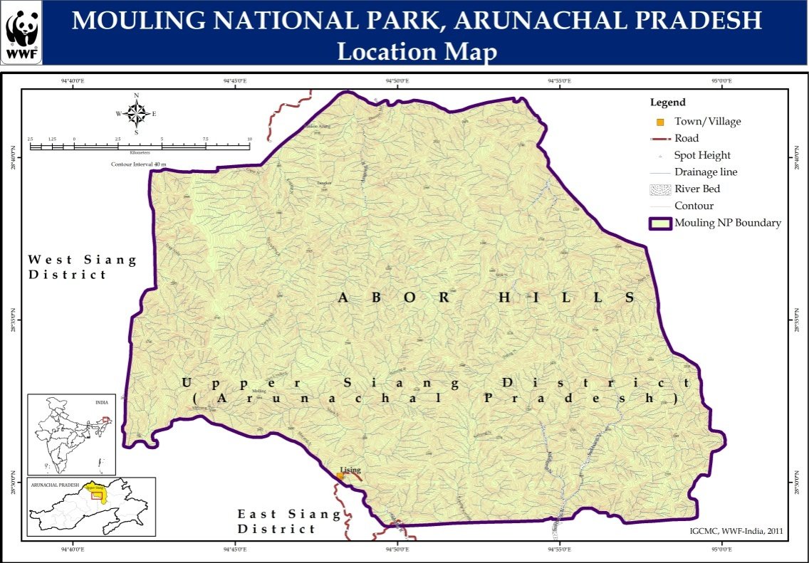
The Second National park of Arunachal Pradesh with area of 483 SQ KMS was notified in 1986. MNP is part of the Dihang Dibang Biosphere Reserve and One of the 18 - Biodiversity hotspot. The park is located in Siang district and Upper Siang district of Arunachal Pradesh. The altitude varies from 550 MSL to 3064 MSL. The park derives its name from the Gangging Mouling peak or the Red hill.
NOTIFICATION :
No. FOR/55/Gen/81 dated 30/12/1986 under section 35 of Wildlife Protection Act,1972 from the existing Mouling Reserve Forest.
AREA :
483 sqkms covering parts of Upper Siang district and Siang district.
- Core area : 362.25 SQKMS
- Buffer area : 120.75 SQKMS
MAP REFERENCE :
Survey of India toposheets Nos. 82 L/10, 82 L/14, 82 L/15 & 82 P/2 of scale 1:50,000
HISTORY :
The present Mouling National Park was initially a Reserve Forest. Subsequently, due to its rich bio-diversity and for conservation, protection and scientific management, the entire area of 483 SQKMS was upgraded to the status of National Park vide Notification No. FOR/55/Gen/81 dated 30/12/1986.